High-resolution Seafloor Topology
and Geology
Environmental Research Equipment
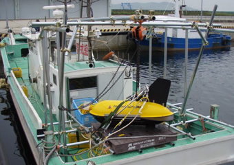
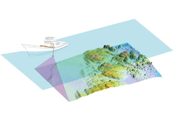
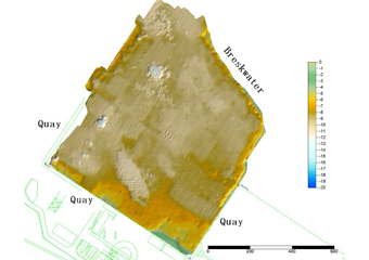
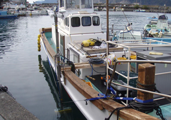
A small boat equipped with multibeam sonar is used in a surficial shallow water survey for precise and high-resolution profiling of the bottom.
This survey is conducted thoroughly without leaving uncovered areas to get a 3D profiling.
Equipment in use: Sonic 2024 - EM 2040C
- Precise profiling for land reclamation and dredging work, daily progress monitoring, hydrographic survey
- Shore erosion, sedimentation, sand drift fluctuation analysis
- Dirt measurement in dam lake sedimentation survey
- Exact location of underwater structures (riprap mound, fishing reef, clad stone, etc.)
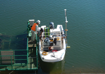
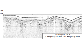
The sub-bottom profiler (TOPAS PS 120) on a small research boat is used to identify sub-bottom sedimentation in shallow waters up to 300m.
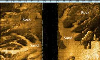
The combined side-scan sonar and sub-bottom profiler system (2000-DSS) can be used to create a seafloor image and high-resolution records of geological formation.
Data are used to create an isopach map, sectional view of surficial sediment, bottom sediment profiling, etc.
This type of equipment is used mainly in active fault survey, preliminary research of structural erection, identification of buried objects, underwater cable route design, etc.
